 |
| Zaakwaarnemer J.A. van Ierland Bac. |
|
|
We provide legal assistance
in civil cases,such as,divorce,
child support and collection
Our office is located at
Fokkerweg 7d,Curacao
You can call us for more
info during office hours
at 4618377 or 4653736
What's app 5228525
Legal assistance is
our mission!
|
 |
| BK1 T/M BK8 |
|
|
 |
| Curacao News |
|
|
 |
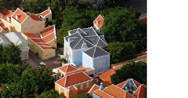
| UNESCO Willemstad,Curacao World heritage site |
|
|
 |
| Human Rights Watch |
|
|
 |
| Handelskade Curacao |
|
|
 |
| WORLD NEWS |
|
|
 |
| NOVATEC WEBDESIGN |
|
|
|